landkarten und stiche - Stamp Auctions

Lot 25396 - landkarten und stiche  -  Auktionshaus Christoph Gärtner GmbH & Co. KG Sale #44 Germany, Picture Post cards

Lot 25396 - landkarten und stiche - Auktionshaus Christoph Gärtner GmbH & Co. KG Sale #44 Germany, Picture Post cards

Landkarten und Stiche: 1734. Artesia Descriptio, published in the Mercator Atlas Minor 1734 edition.
1734. Artesia Descriptio, published in the Mercator Atlas Minor 1734 edition. Map of the Artesia region of France; bold color with a fine hand, strong impression, in very good condition save some minor marginal browning. Measures ca28.5x22 cm including good margins for matting. Mounted lightly with mounting tape upper two margin corners on a temporary mat. Blank verso with chain-line watermarks.
For this lot an additional 7% for Import Expenses (Taxes) will be charged.
View our Terms & Conditions

Auktionshaus Christoph Gärtner GmbH & Co. KG Sale #44 Germany, Picture Post cards

landkarten und stiche
Lot 25364 - landkarten und stiche  -  Auktionshaus Christoph Gärtner GmbH & Co. KG Sale #44 Germany, Picture Post cards

Lot 25364 - landkarten und stiche - Auktionshaus Christoph Gärtner GmbH & Co. KG Sale #44 Germany, Picture Post cards

Landkarten und Stiche: 1588 (ca.): Arras... - Braun and Hogenberg, from their magnum opus, Civitates
1588 (ca.): Arras... - Braun and Hogenberg, from their magnum opus, Civitates Orbis Terrarum, ca1588. Copper engraved map, plate mark ca 47x34 cm plus margin for matting. Generally white paper, slightly yellowed, toned along fold. Imprint good, pre-printing crease in paper daigonal from top of fold to left. Dampstaining to lower corners into image. Overall good condition. French text reverse.
For this lot an additional 7% for Import Expenses (Taxes) will be charged.
View our Terms & Conditions

Auktionshaus Christoph Gärtner GmbH & Co. KG Sale #44 Germany, Picture Post cards

landkarten und stiche
Lot 25375 - landkarten und stiche  -  Auktionshaus Christoph Gärtner GmbH & Co. KG Sale #44 Germany, Picture Post cards

Lot 25375 - landkarten und stiche - Auktionshaus Christoph Gärtner GmbH & Co. KG Sale #44 Germany, Picture Post cards

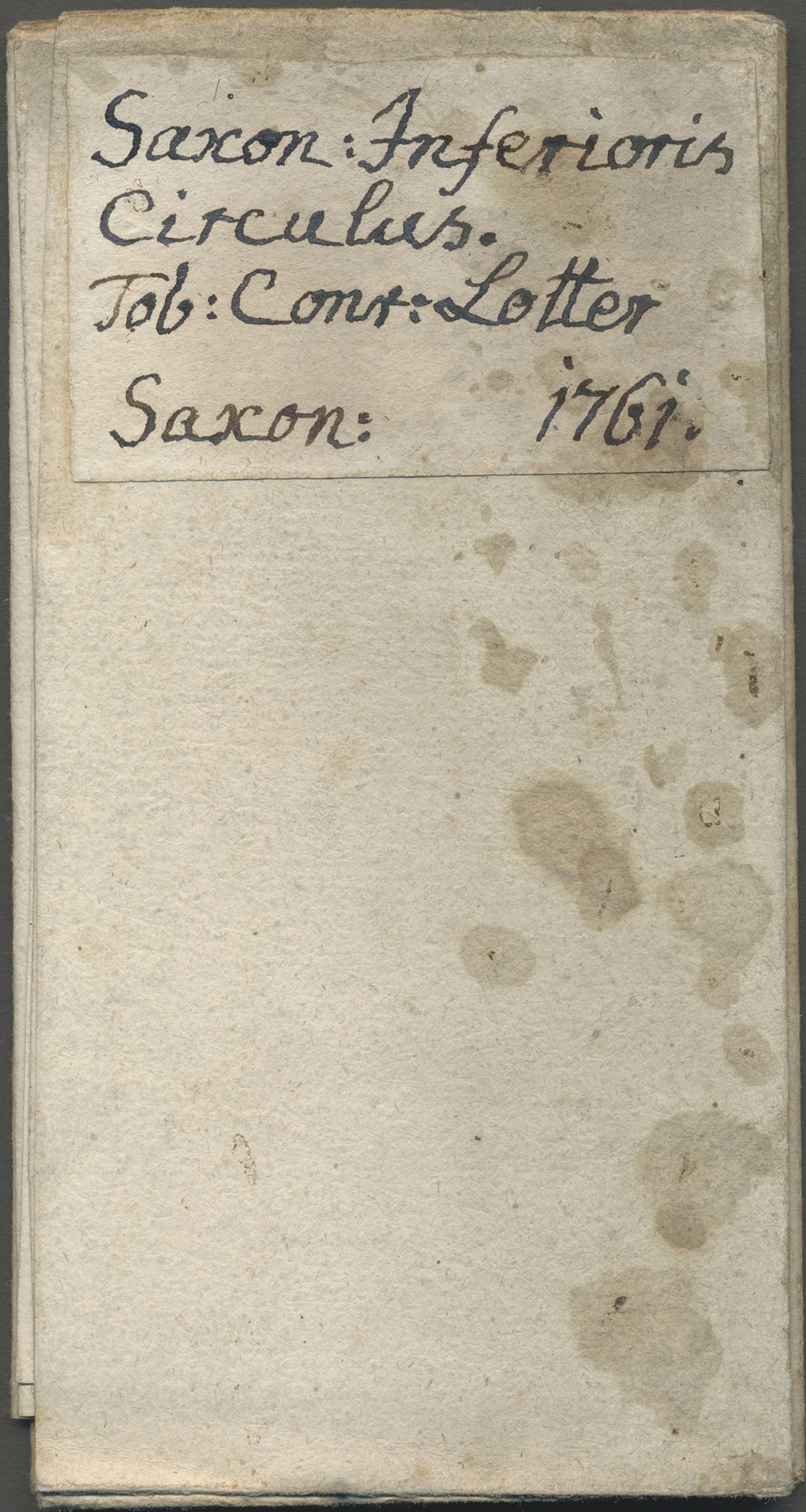
Landkarten und Stiche: 1761. Saxoniae inferioris circulus, exhibens Ducatus Brunswic, Lüneburg, Magd
1761. Saxoniae inferioris circulus, exhibens Ducatus Brunswic, Lüneburg, Magdeburg, Bremens, Mechlinoburg et Holsat. Conrat Lotter. Large map of Nieder Sachsen / Lower Saxon circle (including Mecklenburg, Luneburg, Holstein, Magdeburg, and Brandenburg) with ornate cartouche, by Conrad Lotter (successor to Matthaeus Seutter's firm) in 1761; on heavy laid paper with blank verso to which has been affixed a period label in Latin. Trimmed to plate mark and folded for travel use which has kept the period hand coloring remarkably fresh; very clean, with a superb impression. Would look beautiful matted and framed. Worn through at a few of the fold vertices.
For this lot an additional 7% for Import Expenses (Taxes) will be charged.
View our Terms & Conditions

Auktionshaus Christoph Gärtner GmbH & Co. KG Sale #44 Germany, Picture Post cards

landkarten und stiche
Lot 25391 - landkarten und stiche  -  Auktionshaus Christoph Gärtner GmbH & Co. KG Sale #44 Germany, Picture Post cards

Lot 25391 - landkarten und stiche - Auktionshaus Christoph Gärtner GmbH & Co. KG Sale #44 Germany, Picture Post cards

Landkarten und Stiche: 1734. Touraine / Turonensis Ducatus. Map of the Duchy of Tours region of Fran
1734. Touraine / Turonensis Ducatus. Map of the Duchy of Tours region of France by Mercator, published in the Mercator Atlas Minor 1734 edition; lightly colored with a fine hand, strong impression, in very good condition. Measures ca29.5x22.5 cm including ample margins for matting. Mounted lightly with mounting tape upper two margin corners on a temporary mat. Blank verso with chain-line watermarks.
For this lot an additional 7% for Import Expenses (Taxes) will be charged.
View our Terms & Conditions

Auktionshaus Christoph Gärtner GmbH & Co. KG Sale #44 Germany, Picture Post cards

landkarten und stiche
Lot 25407 - landkarten und stiche  -  Auktionshaus Christoph Gärtner GmbH & Co. KG Sale #44 Germany, Picture Post cards

Lot 25407 - landkarten und stiche - Auktionshaus Christoph Gärtner GmbH & Co. KG Sale #44 Germany, Picture Post cards

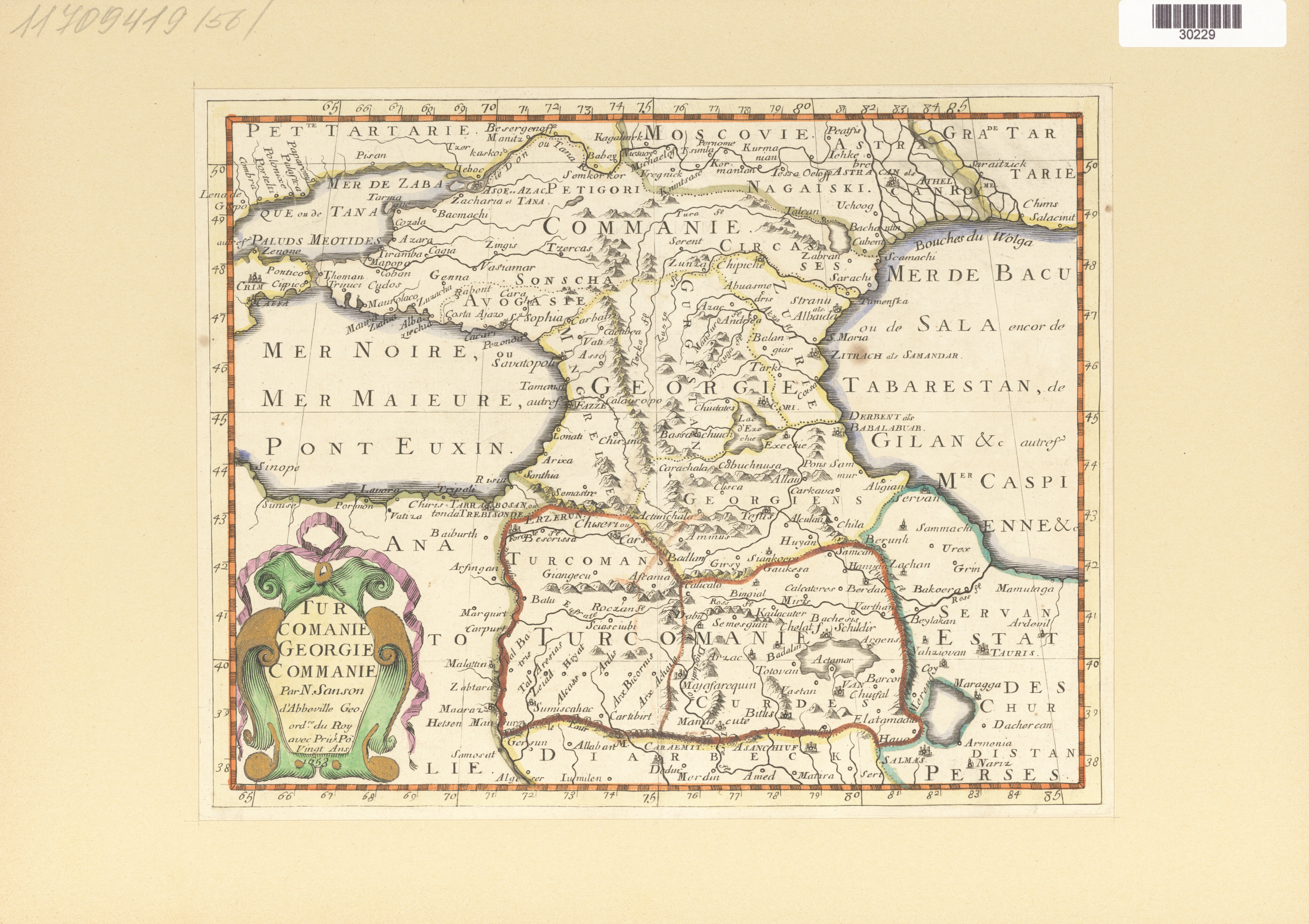
Landkarten und Stiche: 1734, Turcomanie Georgie Commanie. Map of the Caucasus area under Turkish rul
1734, Turcomanie Georgie Commanie. Map of the Caucasus area under Turkish rule up to Russia. By Nicolas Sanson Sr, ca 1652, as published in the Mercator Atlas Minor 1734 edition; lightly colored in outline, good impression, and in good condition save a horizontal fold and some minor tanning and spotting. Nice detail with the cartouche highlighted in gold. Centerfold as made. Measures ca30x22.5 cm including adequate to ample margins for matting. Mounted lightly with mounting tape upper two margin corners on a temporary mat. Blank verso with chain-line watermarks.
For this lot an additional 7% for Import Expenses (Taxes) will be charged.
View our Terms & Conditions

Auktionshaus Christoph Gärtner GmbH & Co. KG Sale #44 Germany, Picture Post cards

landkarten und stiche
Lot 25370 - landkarten und stiche  -  Auktionshaus Christoph Gärtner GmbH & Co. KG Sale #44 Germany, Picture Post cards

Lot 25370 - landkarten und stiche - Auktionshaus Christoph Gärtner GmbH & Co. KG Sale #44 Germany, Picture Post cards

Landkarten und Stiche: 1822. Map of the Island of Martinique, by one Fr. Pluth, from Prague in 1822.
1822. Map of the Island of Martinique, by one Fr. Pluth, from Prague in 1822. Attractive detail with early attempt at topography and mountains/volcanoes. Tiny pinhole not affecting image and only detectable when held to the light. Folded as made for inclusion in the atlas. Heavy, hand-laid paper, blank verso.
For this lot an additional 7% for Import Expenses (Taxes) will be charged.
View our Terms & Conditions

Auktionshaus Christoph Gärtner GmbH & Co. KG Sale #44 Germany, Picture Post cards

landkarten und stiche
Lot 25386 - landkarten und stiche  -  Auktionshaus Christoph Gärtner GmbH & Co. KG Sale #44 Germany, Picture Post cards

Lot 25386 - landkarten und stiche - Auktionshaus Christoph Gärtner GmbH & Co. KG Sale #44 Germany, Picture Post cards

Landkarten und Stiche: 1734. Map of Dauphine, France. From the Mercator Atlas Minor ca 1607, later a
1734. Map of Dauphine, France. From the Mercator Atlas Minor ca 1607, later altered by Nicolas Sanson and reissued in 1734 by Henri du Sauzet. Engraved Petrus Kaerius Calevit. Nicely hand-colored a decorative cartouche; a fine map. Mounted on a temporary mat. Hand-laid paper with blank verso.
For this lot an additional 7% for Import Expenses (Taxes) will be charged.
View our Terms & Conditions

Auktionshaus Christoph Gärtner GmbH & Co. KG Sale #44 Germany, Picture Post cards

landkarten und stiche
Lot 25402 - landkarten und stiche  -  Auktionshaus Christoph Gärtner GmbH & Co. KG Sale #44 Germany, Picture Post cards

Lot 25402 - landkarten und stiche - Auktionshaus Christoph Gärtner GmbH & Co. KG Sale #44 Germany, Picture Post cards

Landkarten und Stiche: 1734. Partie de Barbarie, ou sont les Royaumes de Tunis, et Tripoli; By a.d W
1734. Partie de Barbarie, ou sont les Royaumes de Tunis, et Tripoli; By a.d Winter, reworked map of 1652 for the Mercator Atlas Minor 1683 edition,reissued in 1734 by Henri du Sauzet. Great detail of the Barbary Coast and Carthage/Tunis region of North Africa. Lightly colored in a fine hand, strong impression, and very good condition Mounted lightly with mounting tape upper two margin corners on a temporary mat. Blank verso with chain-line watermarks.
For this lot an additional 7% for Import Expenses (Taxes) will be charged.
View our Terms & Conditions

Auktionshaus Christoph Gärtner GmbH & Co. KG Sale #44 Germany, Picture Post cards

landkarten und stiche
Lot 25381 - landkarten und stiche  -  Auktionshaus Christoph Gärtner GmbH & Co. KG Sale #44 Germany, Picture Post cards

Lot 25381 - landkarten und stiche - Auktionshaus Christoph Gärtner GmbH & Co. KG Sale #44 Germany, Picture Post cards

Landkarten und Stiche: 1734. Biturigum Dicatus. From the Mercator Atlas Minor ca 1648, later altered
1734. Biturigum Dicatus. From the Mercator Atlas Minor ca 1648, later altered by Nicolas Sanson and reissued in 1734 by Henri du Sauzet. Nicely hand-colored a decorative cartouche; a fine map. Mounted on a temporary mat. Hand-laid paper with blank verso.
For this lot an additional 7% for Import Expenses (Taxes) will be charged.
View our Terms & Conditions

Auktionshaus Christoph Gärtner GmbH & Co. KG Sale #44 Germany, Picture Post cards

landkarten und stiche
Lot 25397 - landkarten und stiche  -  Auktionshaus Christoph Gärtner GmbH & Co. KG Sale #44 Germany, Picture Post cards

Lot 25397 - landkarten und stiche - Auktionshaus Christoph Gärtner GmbH & Co. KG Sale #44 Germany, Picture Post cards

Landkarten und Stiche: 1734. Lorraine vers le Midy, published in the Mercator Atlas Minor 1734 editi
1734. Lorraine vers le Midy, published in the Mercator Atlas Minor 1734 edition. Map of the Lorraine / Lothringen in what was Germany and is now France; nicely colored with a fine hand, in good condition, though the impression is weak at bottom of map, most noticably at the small cartouche, and there is some minor marginal browning. Measures a 28.5x22 cm including good margins for matting. Mounted lightly with mounting tape upper two margin corners on a temporary mat. Blank verso with chain-line watermarks.
For this lot an additional 7% for Import Expenses (Taxes) will be charged.
View our Terms & Conditions

Auktionshaus Christoph Gärtner GmbH & Co. KG Sale #44 Germany, Picture Post cards

landkarten und stiche